Convective Forecasts
Convective Forecasts are forecasts for potentially convective, or stormy, weather. The forecasts are based on frequency of lightning and severity of thunderstorms. I issue outlooks with a scale from MARGINAL to HIGH
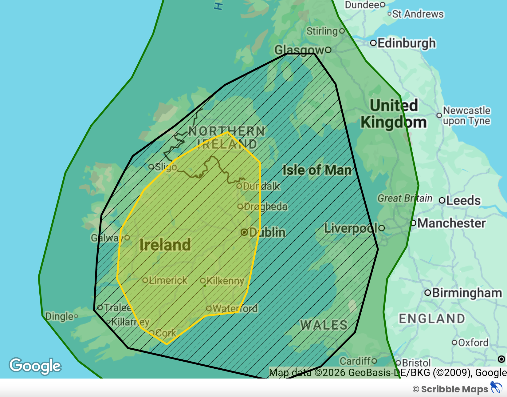
I also issue 'Convective Discussions', which usually consist of a weather map or satellite image overlayed with some a region that is being highlighted for some sort of risk. For example, I would highlight an area with a risk of supercells, or something like that.
This storm season, I am experimenting with something called 'Storm Reports'. This is plotting dots on a map for when images or reports of severe weather have come in. You can check it out in the 'Storm Reports' page.
Watches
Convective Discussions
What are the Categories and What do they Mean?
The risk categories range on a scale from Marginal - High, and are based on the frequency of lightning and severity of storms. If no notably severe storms are expected, then a category will be issued based on lightning frequency. However, if notably severe storms (tornadoes, 2.5cm hail, 58mph winds) are expected then a category higher than normal may be issued depending on severe storm frequency and other factors. If a severe threat is expected, the area of interest will be highlighted, regardless of whether a category higher than usual has been issued


